856 Results Found

Lasertracker Deutschland (P)

Lasertracker Deutschland is a brand of INVERS (separate entry) and a provider of general PCM services using FARO (separate entry) equipment. The company operates worldwide.

LBL: Survey & Alignment Group (P)

The Survey & Alignment Group is part of LBL´s Engineering Division. The group is responsible for the accurate positioning of accelerator and instrumentation components using precision surveying techniques and engineering methodologies. The capabilities include fiducialization, inspection, metrology and alignment.

LC3D - LowCost 3D (P)

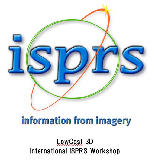
A series of ISPRS international workshops on low-cost three-dimensional sensor systems and tools. They are held in different EU locations and the 8th. edition is co-located with the O3DM at the University of Brescia, 12 - 13 Dec. 2024. The website is maintained by the FBK 3DOM.

Leap3D (P)

Leap3D are specialists in geospatial reality capture and as-built modelling of, for example, process plant and ships. The company are also resellers and rental providers of FARO scanners.

Learn.Trimble (P)

On this website, Trimble (separate listing) offers extensive eLearning connected with its geospatial activities.

LEC3D (P)

A general 3D metrology service company and provider of training in PolyWorks.

Leica Geosystems (PI)

Leica Geosystems manufactures an extensive range of portable 3D measuring systems for industrial and geospatial use. Leica Geosystems was acquired by Hexagon in 2005 and is now is a division of Hexagon. See also Hexagon MI.

Level 3 Inspection (P)

A service company offering: - General 3D metrology (scanning, inspection) - Consultancy - Supply of software for Integrated Computer Aided Inspection

LGI - Laboratório de Geodésia Industrial (P)

The lab was established in 2015 and is run by Prof. Maurício De Campos Porath. The lab´s interests cover all aspects of portable and large volume metrology, with particular connections to the shipbuilding industries. The lab´s infrastructure includes a Nikon iGPS system, a robotic total station, SpatialAnalyzer software and a Rhino 3D CAD system.

LiDAR News

Lidar News, is all about 3D laser scanning and lidar, along with a number of related technologies such as unmanned aerial systems (UAS) and photogrammetry.
© 2021 explore3DM. All Rights Reserved.

Color Switcher