We deal with research and development tasks as well as technology and knowledge transfer in connection with spatial data. Our projects are usually interdisciplinary. Their success is based on close cooperation with partners from business, science, society and public administration.
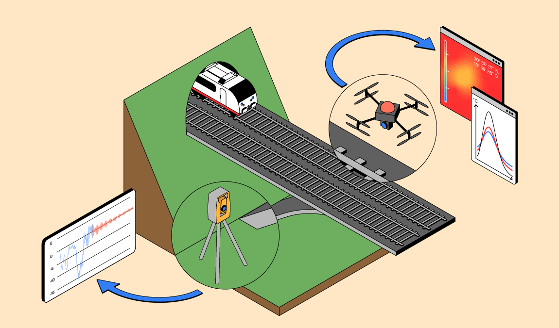
We research, develop and test solutions for space applications, earth measurement, regions, buildings. technical objects and artifacts for quality requirements from the meter to the micrometer range.

Building Information Modeling (BIM) describes methods and processes for planning, building and operating structures using digital technologies. The building is captured, modeled, represented and visualized as a digital twin in 3D.
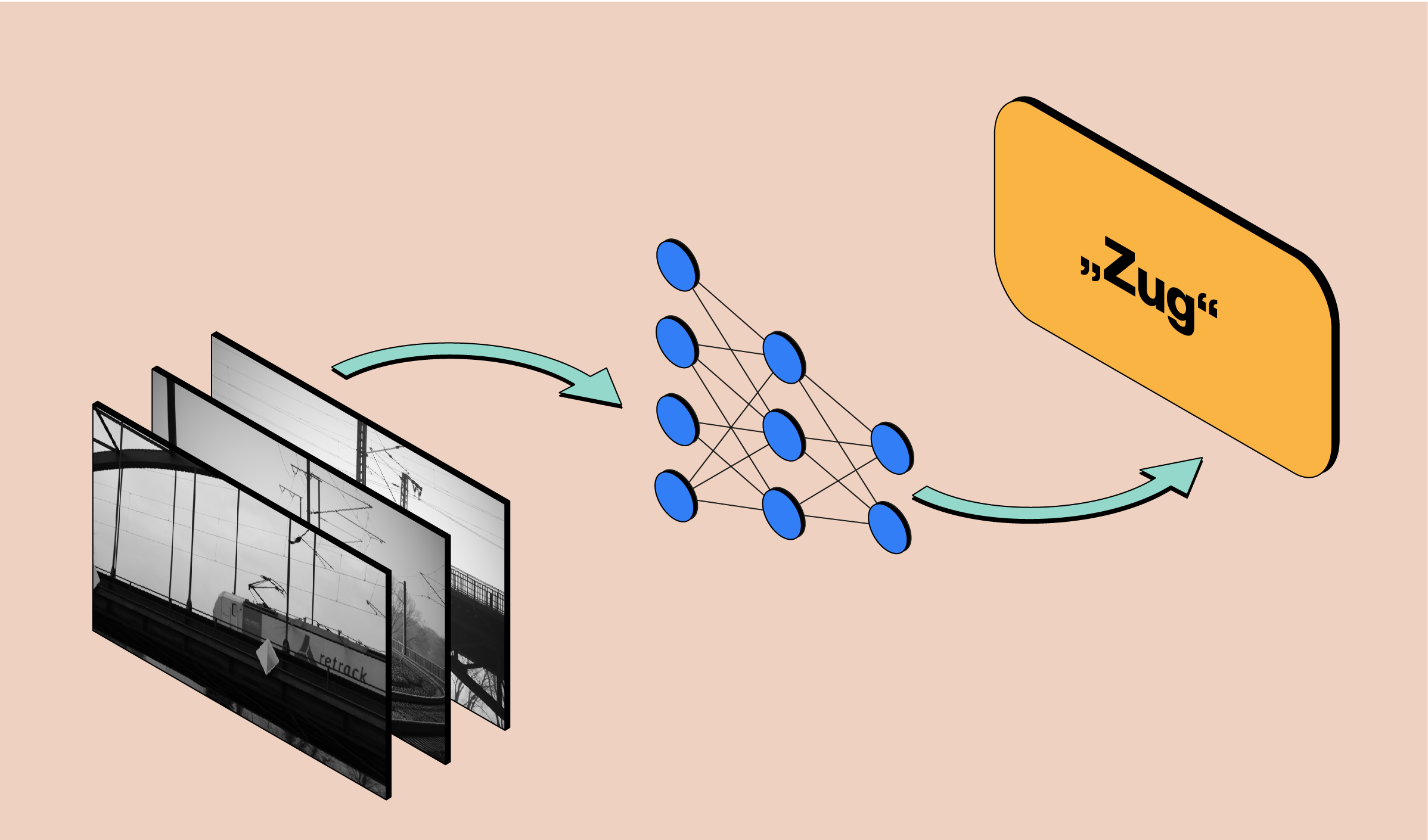
We combine optical technologies, methods of digital image processing and machine learning to prcatical solutions of information acquisition and processing.
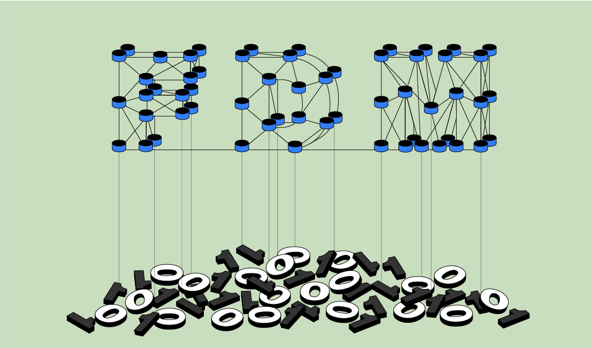
Data collected in research is an important ressource. We manage data from 25 years of institute work and are actively involved in the development of the National Research Data Infrastructure NFDI.
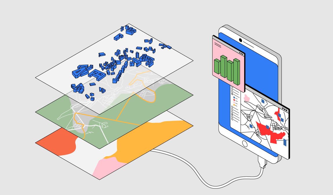
A spatial data infrastructure is a complex network for the exchange of information and data with spatial reference (geodata), which in the sense of being comparable to other infrastructures, such as transport networks or telecommunications.
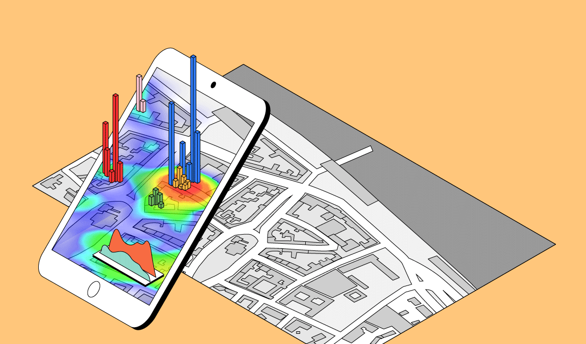
Innovative visualization methods are used to make complex issues and spatial relationships as well as analytical findings comprehensible.
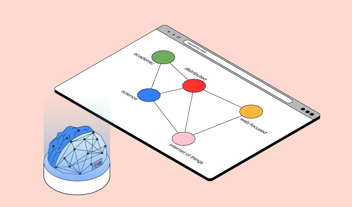
With artifical intelligence methods, such as machine learning or semantic networks, spatial data is processed in an analyzed manner and used for decision-making or control.
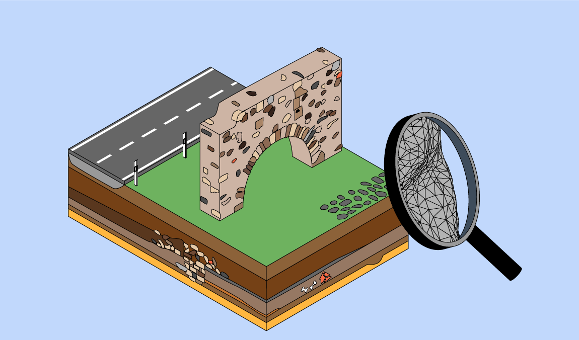
Geoinformation and 3D measurement technology are important fields of application also in the research of cultural heritage and humanities issues especially in archaeology.
